
Beavercreek ZIP Code Directory Coverage
Greene County records show five delivery ZIPs in the Beavercreek area: 45430, 45431, 45432, 45434, and 45440. The county GIS ZIP layer and an official Greene County Board of Elections document place those ZIPs in the Beavercreek and Greene County records geography. That evidence supports a careful coverage list, not a neighborhood-by-neighborhood postal map. The researched sources did not capture USPS post-office assignments, unique-ZIP status, PO-box-only status, or a realignment history for each code. The ZIP code directory therefore keeps those unknowns visible instead of inventing them.
| ZIP | Areas Covered | Post Office | Notes |
|---|---|---|---|
| 45430 | Appears in the Greene County GIS ZIP layer and BOE document with Beavercreek addresses | USPS exact-address lookup required | Do not equate it with city limits. |
| 45431 | Appears in the county ZIP layer and BOE document with Beavercreek addresses | USPS exact-address lookup required | Use city and township layers for jurisdiction. |
| 45432 | Appears in the county ZIP layer; city records use it for City Hall | USPS exact-address lookup required | City Hall's mailing ZIP is not a boundary definition. |
| 45434 | Appears in the county ZIP layer and BOE document with Beavercreek addresses | USPS exact-address lookup required | Check postal and city geography address by address. |
| 45440 | Appears in the county ZIP layer and BOE document with Beavercreek addresses | USPS exact-address lookup required | Treat as a shared area until USPS and GIS verify an address. |
Postal areas overlap other local geographies. Beavercreek is a city in Greene County, while Beavercreek Township has its own corporation layer in GIS. A delivery ZIP can cross those lines. The table identifies where postal verification should begin; it does not claim that every address using one of these ZIPs is inside the City of Beavercreek.
USPS Checks for Beavercreek
Use the USPS ZIP Code Lookup with the full street address when delivery information matters. A city name alone cannot establish the correct mailing label for a parcel. Postal cities, carrier routes, township boundaries, and county lines can overlap. The ZIP shown by a mailing address is a delivery tool. It is not a city-council boundary, a property title description, or proof that an agency with a Beavercreek name created the record.
The research did not capture representative USPS results for all five local ZIPs. For that reason, a postal-office name, boundary narrative, unique-code label, or PO-box-only claim should be checked on the live USPS result before it is repeated. The county layer remains useful for orienting a search, but USPS is the delivery authority for the individual address.
The USPS address lookup is the source captured below for this Beavercreek postal workflow.
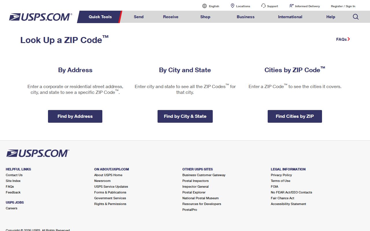
Save the returned mailing ZIP with the date of the check. A later map or parcel result should be compared to it rather than assumed to use the same boundary.
Beavercreek ZIP Code City Limits
ZIP boundaries and City of Beavercreek limits are different systems. The city reports 27.3 square miles and incorporated in 1980, but its municipal geography does not define postal delivery zones. Greene County GIS separately displays BEAVERCREEK CITY and BEAVERCREEK TOWNSHIP corporation layers alongside ZIP geometry. A Beavercreek mailing label can apply outside municipal limits, and an address inside the city can use a postal convention that does not read like a city boundary. Resolve the actual address through USPS and the corporation layer.
A parcel can also have several address concepts. The situs address is the property location. An owner mailing address, if an Auditor card displays one, is used for tax correspondence and can differ. A legal description identifies the lot, subdivision, parcel, or other recorded land reference. The researched Auditor extract confirms its search routes and controls but did not expose card labels, so the field names on an individual result should be checked before a record is described as having a specific mailing or situs field.
- ZIP and ZIP+4
- A ZIP identifies a broad postal delivery area. ZIP+4 adds a smaller delivery segment to the basic ZIP.
- PO-box ZIP
- A postal ZIP assigned for post-office-box delivery. The research did not verify whether any Beavercreek-serving ZIP has this status.
- Unique ZIP
- A ZIP assigned to one organization or destination. No Beavercreek unique ZIP was verified in the researched official sources.
- Carrier route
- A postal delivery sequence used to move mail. It is not a city-limit or parcel-ownership boundary.
Beavercreek ZIP Map Context
Greene County GIS gives the geographic check between a delivery result and a record custodian. The public legend includes parcels, buildings, addresses, road centerlines, ZIPs, FEMA floodplain, and corporation layers. Search an address to orient the map, select the parcel, note the parcel identifier and nearby boundaries, then return to the Auditor or Recorder for the record itself. GIS parcel data is updated daily from the Auditor's CAMA system, but its map outline is a reference layer rather than a legal survey.
The city and township layers are especially useful around Beavercreek because the municipality, township, Greene County offices in Xenia, and postal geography do not share a single boundary. This local split is a records fact, not an error. It explains why a parcel question may go to the Auditor, a deed question to the Recorder, a zoning question to Beavercreek, and a delivery question to USPS.
Beavercreek ZIP Search Workflow
A ZIP narrows an address question only after the address is known. It does not create a public household roster. The sequence below follows the local access channels from postal validation to land records. Once the address has been narrowed to a particular street, the separate Beavercreek street directory gives the fuller street-by-street record chain.
- Enter the full address into USPS ZIP Code Lookup and keep the returned delivery ZIP with the search date.
- Use Greene County GIS to locate the address and check the parcel, road, ZIP, and BEAVERCREEK CITY or BEAVERCREEK TOWNSHIP layer.
- Use the Auditor's structured address search to locate the parcel. Enter locality information where the form offers it, without expecting a ZIP-wide result list.
- Use the Recorder's legal-description and deed information for a recorded ownership trail. For city zoning or county construction information, use the applicable permit channel.
- For voter questions, use Ohio's name-plus-county lookup. Do not substitute a ZIP for the required named-person search.
The city permit route and Greene County Building Regulation are different channels. Beavercreek handles zoning permits, while the city says the county handles building, plumbing, electrical, and HVAC permits. An address disagreement calls for USPS, GIS, Auditor, Recorder, and the relevant city or county office rather than a guess from one postal field.
Beavercreek Auditor Address Fields
The Greene County Auditor Real Estate Search supports parcel-number, owner-name, and structured-address routes. Its address controls show why exact pieces matter in a dense and growing city: a directional prefix, street suffix, or unit can change the result. The form also has a combined City, State ZipCode selector. That selector supports a ZIP as one part of a known address. It does not prove that the Auditor has a ZIP-only filter or can return a ZIP-wide resident list.
| Field | Verified form behavior |
|---|---|
| Search route | Parcel number, owner name, or address. |
| Tax Year | Optional dropdown; its available options were not exposed in research. |
| Street Number and directions | Separate number, pre-direction, and post-direction controls. |
| Street and suffix | Separate street-name and street-suffix controls. |
| Unit controls | Separate unit designator and unit fields. |
| City, State ZipCode | Combined locality selector, not confirmation of a ZIP-only search. |
| Property type | Real Estate or Manufactured Home. |
The Auditor portal displayed a last-updated timestamp when inspected, but that timestamp is not a title guarantee. Use a parcel number and a recorded instrument for a stronger land trail. For an older or disputed record, the Auditor counter at 69 Greene Street in Xenia is an additional contact channel; the office lists property search, tax data, and GIS entry points.
Beavercreek Legal Description Check
A legal description is the durable link when an address label changes. Greene County Recorder search supports a grantor/grantee, subdivision, document-type, or document-number search term, plus recorded-date ranges and index-only or index-and-OCR scopes. For plats, the research documents routes by name, plat book and page, or plat cabinet and page. GIS survey instructions also use a parcel identifier with a survey volume and page. Those recorded references can tie a place together when postal and street labels vary.
The Recorder's online index is stated to run from 1984 forward. Earlier direct and reverse index books remain the local fallback. A map, postal label, and city line can help locate a property, but the deed's legal description and the Recorder's source are the better record trail for historic work. The city, county permit office, archive, and Greene County Room may each supply a different piece of an address history.
Note: A postal ZIP, a municipal label, and a recorded legal description can all be accurate while referring to different functions of the same Beavercreek-area property.
Beavercreek ZIP Code Search Limits
No researched public system supplies a ZIP-wide Beavercreek resident list. Ohio My Voter Information requires first name, last name, and county, then may narrow a named match by street. It is not a street roster. Its registration information is subject to statutory exceptions and Safe at Home confidentiality. The Ohio Data Act voter channel is a separate batch-download system, not a simple ZIP search. A missing voter result cannot establish that no one lives at an address.
The Ohio DRC Offender Search has a ZIP field, but it is a state custody and supervision locator, not a directory. The agency says its residential-county and ZIP filters apply only to APA Supervision or Violators at Large, and a displayed address is a last-recorded address, not necessarily a current one. It should never be used as a broad local-resident list.
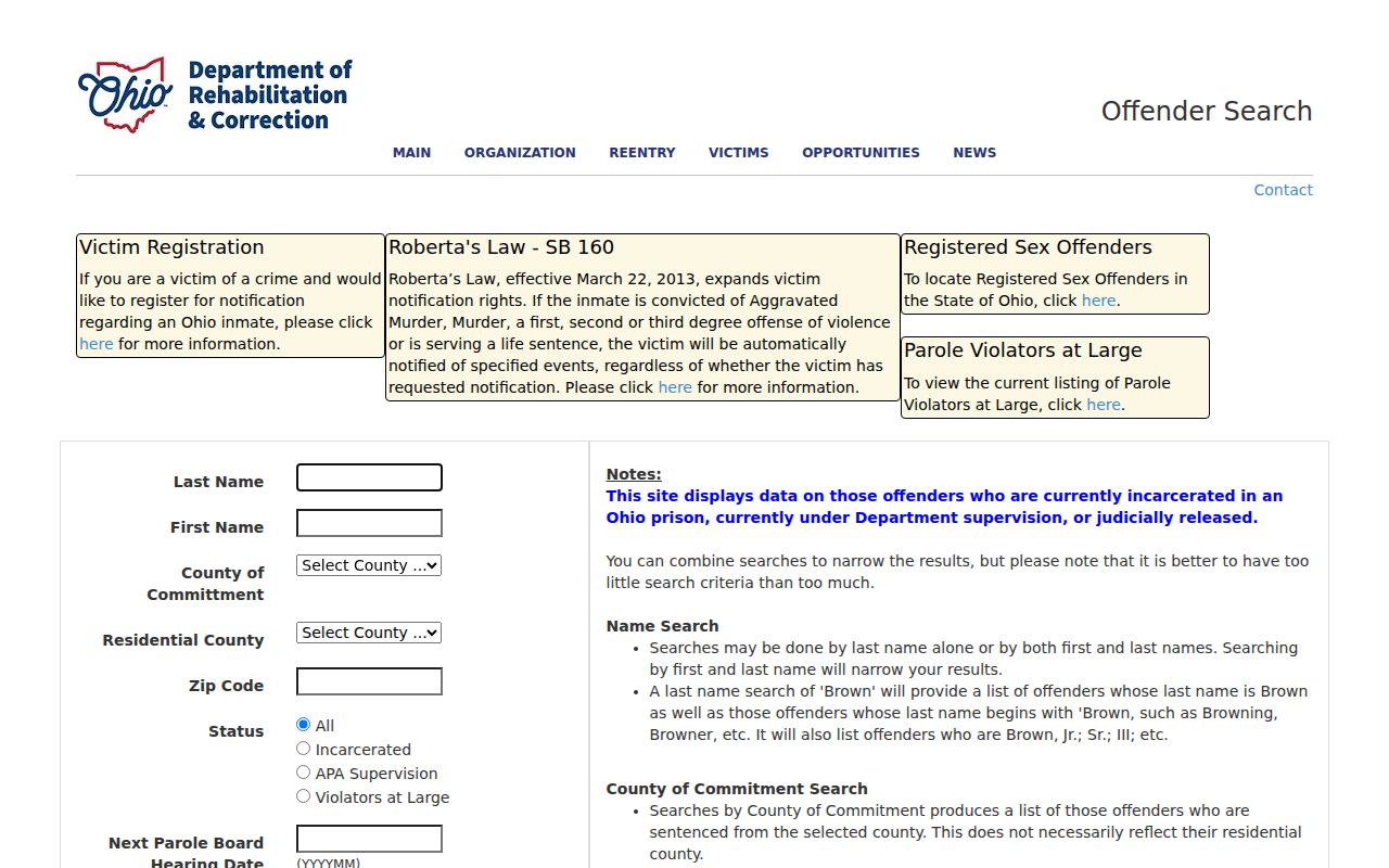
The Ohio Attorney General public safety search source is also represented below. Its registry can have statutory ZIP, location, or radius modes, but it is a safety registry, not an ordinary neighborhood or resident directory.

Use a named record, parcel, or official court and Recorder trail for the question at hand. Respect protected addresses and do not use any search result to stalk, harass, or harm another person.