
How Beavercreek Street Directories Start
Begin an address-based Beavercreek street directory trail with the Greene County Auditor Real Estate Search. It accepts a parcel number, owner name, or structured address. An address is not a household list. It is the starting point for a parcel and tax-oriented ownership record. Once the parcel is identified, the trail can move to the map, then to the recorded document index, and finally to historical collections when the question concerns an earlier occupant.
- Enter the fullest known address in the Auditor form. Keep the street number, direction, suffix, and unit separate when those details are known.
- Use the parcel result to orient the property, then open the GIS map and note the parcel identifier and nearby boundaries.
- Search the Greene County Official Record Search for the owner, grantor, grantee, subdivision, document type, or document number that fits the parcel.
- Test each deed against its legal description, lot, block, or plat. A street-text hit alone may only be a passing mention in an OCR document.
- For a past household, ask the Greene County Room whether it holds a usable city or reverse directory for the needed locality and year, then compare the address with maps and census-era sources.
The named-person voter lookup belongs late in this process. Ohio’s public form requires first name, last name, and county. Its street control appears only after a named lookup, so it is confirmation for an identified person, not a way to browse everyone along a Beavercreek road.
Beavercreek Street Directory Search Fields
The Auditor form is detailed enough to prevent many false starts. A directional prefix, street suffix, and unit can change an address result. The form also offers a tax-year choice and property type. Use the structured fields first, then remove only the uncertain parts if a result is too narrow. The City, State ZipCode control is part of an address entry, not evidence that the system runs a ZIP-wide directory.
| Auditor field | How it helps a street search | Confirmed option or limit |
|---|---|---|
| Parcel Number | Returns to an already identified land unit. | One of the official search routes. |
| Owner Name | Connects a known owner to a parcel result. | Do not treat an owner result as proof of present occupancy. |
| Street Number and directions | Separates similar road names and address ranges. | Pre-direction and post-direction are separate controls. |
| Street, suffix, unit designator, unit | Refines a multi-unit or similarly named address. | Each is a structured address component. |
| City, State ZipCode and Tax Year | Supplies locality and tax-period context. | Not a verified ZIP-only result tool. |
| Property Type | Separates real estate from manufactured-home searching. | Real Estate and Manufactured Home are the displayed choices. |
The captured research verifies the search inputs, not every field on an individual parcel card. Do not assume that a result displays a mailing address, transfer history, exemption, value, sketch, tax status, or a legal-description label until the live record is inspected. That distinction keeps a Beavercreek street directory search tied to what the portal actually exposes.
Note: Record the parcel identifier before changing search terms, because it is the most stable link between address, map, and deed research.
Mapping Beavercreek Street Parcels
The Greene County GIMS parcel viewer and the county tax-map resources put an address in physical context. GIS data includes parcels, buildings, addresses, roads, ZIPs, floodplain, and corporation layers. The legend separates BEAVERCREEK CITY from BEAVERCREEK TOWNSHIP. Use that distinction when a mailing label sounds like Beavercreek but the parcel is held under another jurisdiction.
The official GIMS parcel-viewer source is shown below. It is useful for locating a parcel before opening the Auditor and Recorder records.

A parcel outline is a practical reference, not a title opinion, certified survey, or legal boundary determination. Select the parcel, record its identifier, and verify ownership or plat questions through the county record custodian.
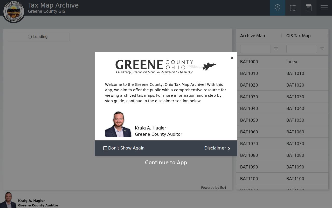
For older map work, the Tax Map Archive has a Find Address or Place control, map selection, Archive Map and GIS Tax Map text filters, a map viewer, and a record viewer. The GIMS survey instructions use a selected parcel identifier, a Survey Record choice, and a volume and page. Map files can have missing files or features, which is another reason to compare a map with the recorded plat or survey.
The Greene County GIS Tax Map Archive view below illustrates the alternate map route.
Map selection helps place a road segment among parcels, but the recorded plat, survey, or deed is the source to use when legal proof matters.
Beavercreek Street Records by Address
Each address-keyed source answers a different question. The Auditor connects a structured address to a parcel-oriented record. GIS adds geometry and map references. The Recorder connects a confirmed parcel or legal description to recorded documents. City and county permit channels may document construction or zoning work. The sources should be read as a chain, not merged into a claim that every name belongs to one household.
| Address record | Custodian | What it may add | Access boundary |
|---|---|---|---|
| Parcel and tax record | Greene County Auditor | Parcel and owner/address search route. | Public portal; card-output fields were not fully verified. |
| GIS parcel and tax maps | Greene County GIS | Parcel geometry, road layers, tax-map and survey references. | Daily CAMA-linked reference data, not a legal survey. |
| Recorded deed or document | Greene County Recorder | Grantor, grantee, document details, dates, and legal-description trail. | Web index stated from 1984 forward; older books are separate. |
| Plat or survey | Recorder and GIS | Lot, subdivision, street, and easement continuity. | Use the recorded source for legal proof. |
| Zoning permit or inspection | Beavercreek Planning and Development | Permitted zoning work, status, copies, and inspection history. | No public citywide address-results search was verified. |
| Building permit | Greene County Building Regulation | Building, plumbing, electrical, or HVAC permit trail. | The City says this county office, not the City, issues these permits. |
| Historic directory | Greene County Room or Archives | Historical occupant research. | Exact local volume and reverse-run availability needs staff confirmation. |
The sequence protects against a common mix-up. A parcel owner, a recorded deed party, and a directory occupant are not interchangeable. The records may relate to the same place at different times, but none alone produces a complete resident roster.
Beavercreek Street Deed Chains
The Recorder is the ownership-history layer after the parcel is known. Its public search supports a broad search term for grantor or grantee, subdivision, document type, or document number. It can be limited by recorded date and switched between index-only and index-plus-OCR scopes. Multiple words are searched separately in index-only mode and as a phrase in OCR mode. Those settings help, but they do not replace checking the legal description.
Start with the current conveyance. Preserve the grantor, grantee, recording date, document identifier, and legal description. Then search the earlier owner as a grantee to find that person’s acquisition. Repeat the pattern while testing the lot, subdivision, or parcel reference at every step. A grantor may have sold a property without moving to a particular new address, so the deed trail proves recorded transfers, not later residence.
- Parcel
- A tax and land unit identified by the Auditor and mapped by GIS. It can contain one or more street addresses.
- Situs address
- The physical property location when a record system labels it that way. It can differ from a mailing address.
- Plat
- A recorded subdivision map that lays out lots, blocks, streets, and easements.
- Criss-cross directory
- An address-to-occupant directory, if a local repository confirms that it holds one for the needed place and year.
- Grantor and grantee
- The party conveying property and the party receiving it in a recorded instrument.
For whole-street research, subdivision and plat logic is stronger than repeatedly searching street text. A street name can appear in an OCR document for reasons unrelated to the target parcel.
Beavercreek Street Permit Routes
City permit evidence is useful for a property-change date, but it has a narrow role in a Beavercreek street directory search. The City’s Online Permit Center handles applying and paying for permits, checking permit status, getting copies, scheduling inspections, and receiving inspection results. Planning and Development also accepts the applicable paper permit and fee in person or by mail at City Hall.
The City issues zoning permits. Its published categories include a new house, addition or attached garage, deck, pool, shed or detached garage, propane tank, fence or retaining wall, exterior commercial or industrial work, certificates of use, signs, and outdoor or temporary sales. Residential zoning permits are generally required for listed construction or replacement work. Approved zoning permits are stated to remain valid for 180 days.
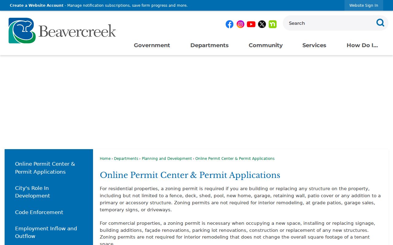
The official Beavercreek Online Permit Center is pictured below. It is an application and status route, not a verified public search across all city addresses.
For building, plumbing, electrical, and HVAC records, use Greene County Building Regulation. A focused request should name the address, date range, and project type. Permit material can date a change to a structure, but it cannot identify all people who lived there.
Historic Beavercreek Street Occupants
The historical address tool is the Greene County Room and Archives shelf, not a claimed complete Beavercreek directory run. The county historic-property guide says city directories identify occupants rather than owners. It also warns that street names and house numbers may have changed. Ask library staff for the exact city-directory, reverse-directory, or address-index holdings for the locality and year before assuming a criss-cross volume exists.
That distinction matters when a current address is used to find an older household. First compare the address with an atlas, Sanborn map, plat, and deed legal description. Then record the directory’s volume title, year, page, spelling, and the information visibly printed in the entry. The Beavercreek city directory collections explain the historical shelf and household-tracing method in more detail.
Note: A directory entry can establish an occupant lead, but it does not establish present residence, property ownership, or every household member.
Beavercreek Street Boundary Checks
Beavercreek address research crosses city limits, Beavercreek Township, Greene County, and postal geography. GIS has separate City and Township corporation layers and also displays ZIP geometry. A Beavercreek mailing label does not decide the municipality or record custodian. Use the exact address in the property search and map layers, then check the legal description when the answer affects a deed, plat, or permit request.
Greene County’s structured Auditor form recognizes the practical problem. It separates street number, directional prefix, street suffix, and unit details. Similar road names, dense development, and unit designators can produce a wrong parcel if one field is guessed. Maps orient the search; they do not replace the Recorder’s recorded document or a survey.
Beavercreek Street Directory Limits
A street record chain has firm privacy and accuracy limits. Ohio’s public voter form is a named-person, county-based lookup, not a public street roster. Safe at Home participants may use substitute addresses for voter registration and official records. Court, vital, and protection-order records can also be restricted. Motor-vehicle data remains subject to the federal Driver’s Privacy Protection Act. A missing result can be a correct privacy outcome.
When a public record seems wrong, keep the portal URL, download date, parcel or document identifier, and the agency response. Send correction evidence to the office that holds the record. Ohio’s Public Records Act guidance explains the request fallback for existing public records under R.C. 149.43; it does not require an office to create a new street-by-street resident list.
Before 1984 on Beavercreek Streets
The Recorder says its online index reaches from 1984 forward. That is a web-index boundary, not the start of Greene County land history. The county also identifies prior-to-1984 direct and reverse index books. For an older transfer, move from the online result to those books, the Recorder counter, the Records Center and Archives catalog or repository, and the Greene County Room’s available deed microfiche and index microfilm.
The Greene County Auditor office is shown below. Use the office and portal as current parcel-entry points, then preserve the document and legal-description details required for older research.

Greene County Records Center and Archives is in Xenia and says not all holdings are digitized. Its Reading Room, catalog, and repository are material access channels when a web search stops. The Greene County Room also keeps historical maps, directories, obituaries, and microfilm resources that can help establish address continuity.
Beavercreek Street Research in Xenia
County originals commonly lead to Xenia because Beavercreek is in Greene County, not the county seat. The Recorder, Auditor, Probate Court, Clerk, Records Center and Archives, and Greene County Room supply different parts of an address trail. A focused request makes the counter, email, mail, archive, and public-records channels more useful. Ask for an existing deed by document number, a parcel history by parcel identifier, a map by volume and page, or a zoning record by address and date range.
The City of Beavercreek incorporated in 1980, while older material can appear under Beavercreek Township or a county description. Greene County was organized in 1803, and the courthouse fire of 1900 makes early online absence especially weak evidence. Search the local vocabulary carefully and cross-check the custodian, library, and archive rather than drawing a conclusion from one missing image.